Web map services
With those services, you can access the most recent SIGÉOM data to create personalized maps. These data can then be integrated into a GIS software (QGIS, ArcGIS, GeoMedia, MapInfo, gvSIG, etc.).
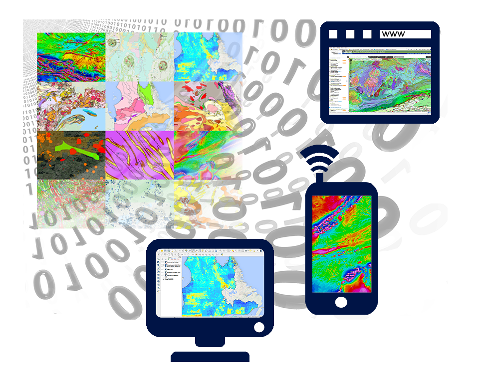
With those services, you can access the most recent SIGÉOM data to create personalized maps. These data can then be integrated into a GIS software (QGIS, ArcGIS, GeoMedia, MapInfo, gvSIG, etc.).
The Step-by-step User Guide - Mastering the SIGÉOM Data describe the steps to integrate SIGÉOM data into a project from the cartographic Web service.
The Step-by-step User Guide - Mastering the SIGÉOM Data describe the steps to integrate SIGÉOM data into a project from the cartographic Web service.
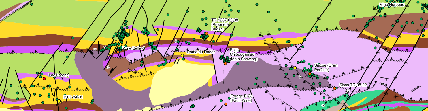
These data correspond to the most recent data and are constantly updated. Every element can be selected and basic information is displayed.
| URL | https://servicesvectoriels.atlas.gouv.qc.ca/IDS_SGM_EN_WMS/service.svc/get? |
| Description | https://servicesvectoriels.atlas.gouv.qc.ca/IDS_SGM_EN_WMS/service.svc/get?request=getcapabilities&service=wms&format=text/xml |
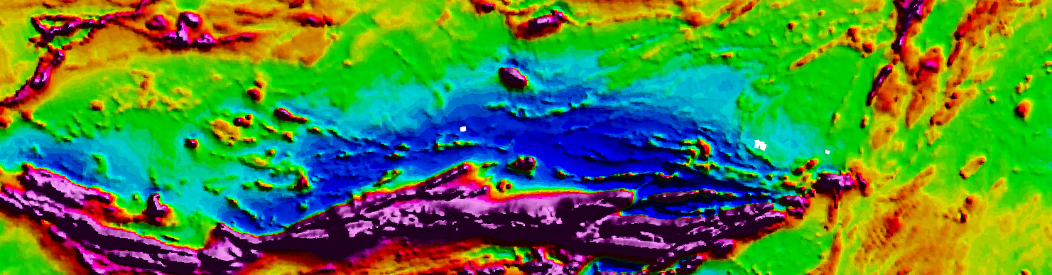
These static images are generally the result of a data synthesis of data and are generally updated once a year.
| URL | Description | |
| All | https://servicesgeo.atlas.gouv.qc.ca/ApolloCatalogWMSPublic/service.svc/get?layers=CARTE_INTERACTIVE | |
| Québec Geophysical Images | https://servicesgeo.atlas.gouv.qc.ca/ApolloCatalogWMSPublic/service.svc/get?layers=Geophysique_MERN | |
| Canada Geophysical Images | https://servicesgeo.atlas.gouv.qc.ca/ApolloCatalogWMSPublic/service.svc/get?layers=Geophysique_FED |
These data correspond to the most recent data and are constantly updated. Every element can be selected and basic information is displayed.
| URL | https://servicesvectoriels.atlas.gouv.qc.ca/IDS_SGM_EN_WMS/service.svc/get? | Copy |
| Description | https://servicesvectoriels.atlas.gouv.qc.ca/IDS_SGM_EN_WMS/service.svc/get?request=getcapabilities&service=wms&format=text/xml | Open |
These static images are generally the result of a data synthesis of data and are generally updated once a year.
| URL | Description | ||
| All | https://servicesgeo.atlas.gouv.qc.ca/ApolloCatalogWMSPublic/service.svc/get?layers=CARTE_INTERACTIVE | Copy | |
| IQuébec Geophysical Images | https://servicesgeo.atlas.gouv.qc.ca/ApolloCatalogWMSPublic/service.svc/get?layers=Geophysique_MERN | Copy | |
| Canada Geophysical Images | https://servicesgeo.atlas.gouv.qc.ca/ApolloCatalogWMSPublic/service.svc/get?layers=Geophysique_FED | Copy |
| Data | Layer name | Description |
|---|